Queens garden suburbs
Places · 3 min read · revised August 2026
| Term | What it means here |
|---|---|
| Rail-led growth | Development followed the lines outward rather than spreading evenly. |
| Planned community | Early twentieth-century developments laid out complete, with covenants. |
| Detached and semi-detached | A stock much closer to suburban than to the row-house boroughs. |
| Two-fare zone | Areas needing a bus connection to the subway, historically a second fare. |
| Consolidation | The 1898 merger that made the county part of the city and set the pattern. |
A county turned into a borough by a railway timetable
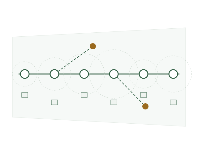
Queens was farmland and scattered villages long after Manhattan was a city, and it urbanised in the particular way that rail-led development produces: not as a spreading blot but as beads on a string, with dense settlement near stations, farmland between them, and the gaps filling in over the following decades. Consolidation into New York City in 1898 and the arrival of rapid transit set the pattern; the enormous inter-war building boom carried it out. The result is a borough whose housing stock is younger, lower and greener than Brooklyn's or Manhattan's, and far more varied than either.
The planned communities
Several parts of the borough were laid out complete, in the garden-suburb manner that was influential in the early twentieth century: curved streets against the grid, generous planting, coordinated architecture, and covenants controlling what owners could do. These were an argument, made in built form, that the alternative to the tenement was not the countryside but a designed suburb inside the city. They remain visually distinct from the surrounding streets a century later, and their controls are one reason why.
The stock
Alongside them the borough filled with the types that made mass ownership possible: attached and semi-detached houses in long runs, small detached houses on modest plots, low apartment buildings around the stations, and a very large number of two-family houses. The two-family is as central here as in Brooklyn but in a different form - a purpose-built duplex arrangement rather than a converted row house - and it performs the same function, letting an owner-occupier carry a mortgage with rental income from the same building.
The two-fare zone
Because the subway reached parts of the borough and not others, a large area could only be reached by taking a bus and then a train, which historically meant paying twice. The extra cost and the extra time were capitalised into land values as reliably as any other transport fact, and the free transfer introduced in the 1990s removed a real charge from a large number of households. The phrase has faded but the underlying geography has not: within the borough, price still tracks the journey to the nearest fast service closely enough to be visible on a map.
What the pattern means now
Queens is where the region's argument about adding housing is most concrete, because it contains both the largest supply of low-density land near existing transit and the strongest attachment to a settled suburban form inside the city. Whatever is decided, the borough's existing shape is a century-old record of where the trains went, and that record is legible from almost any street corner in it.